Context of the project
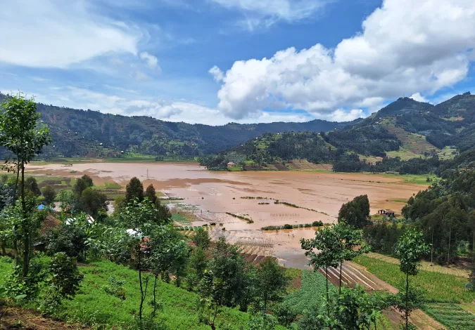
The volcano region is located in the north of Rwanda and includes the districts of Rubavu, Nyabihu, Musanze and Burera. The volcanoes and the Virunga corridor are highly prone to recurrent flooding and landslides; they are interconnected by complex hydrological phenomena, and in particular, by a system of caves and lava tunnels with major underground flows and resurgences linking the upper and lower parts of the Mukungwa and Upper Nyabarongo watersheds. The Mugogo lowland on the outskirts of Musanze is an important agricultural production area, which suffers from recurrent flooding intensified by the damaging effects of climate change.
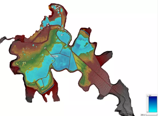
The aim of the project is to characterise the hydrological system contributing to the Mugogo lowland in order to build a hydro-sedimentary model that can be used to design flood and erosion mitigation infrastructures. Investment is geared towards innovative, nature-based solutions that are resilient to climate change. The results of this pilot study are expected to be replicable on other sites with similar constraints
As part of this assignment, SHER Ingénieurs-Conseils undertook the following activities:
- Identification of the critical characteristics of the watersheds and topographical surveys of the zones subject to flooding hazards, of the main watercourses and gullies
- Mapping and detailed hydrogeological description of lava tunnels using geophysical and borehole methods
- Hydrological and hydraulic modelling of the system
- Modelling of sediment transport
- Initial and detailed design of solutions to mitigate erosion and sediment load entering the Mugogo lowland
- Drafting of tender documents
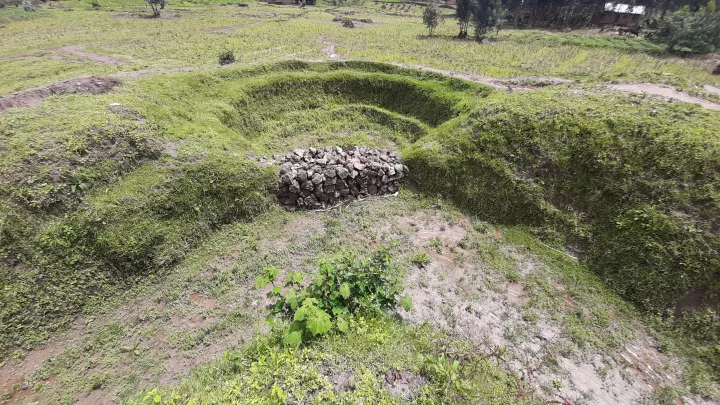
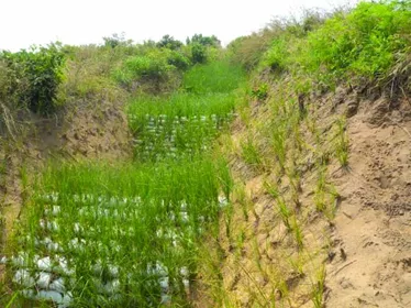
Project images