Context of the project
The overall objective of the LATAWAMA intervention is to promote an equitable use, a benefit sharing and a common risk mitigation in the prevention of transboundary water pollution of Lake Tanganyika and its basin. The project supports the Lake Tanganyika Authority (LTA), an inter-regional structure with the mandate and missions to promote the protection and the sound management of the water resources of the Lake and its basin.
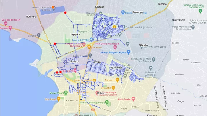
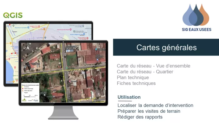
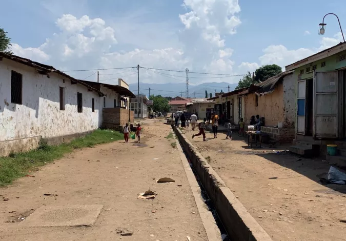
Within the framework of the Lake Tanganyika Water Management (LATAWAMA) project, the assignment consists of the digitisation and the asset management of the wastewater network in the city of Bujumbura using a Geographic Information System (GIS). In parallel with the development of the database and the GIS tools, the capacity building has been implemented. This network collects water and conveys it to the Buterere wastewater treatment plant.
The study area covers the neighbourhoods that are currently connected to the existing sewerage network.
The wastewater network study includes the following five activities:
- Carrying out an inventory of existing data (physical inventory)
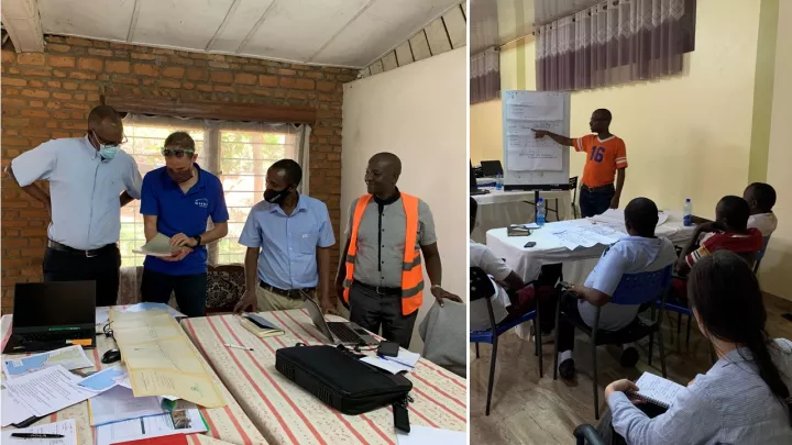
- Analysing the needs of the stakeholders and proposing a conceptual database model and GIS applications
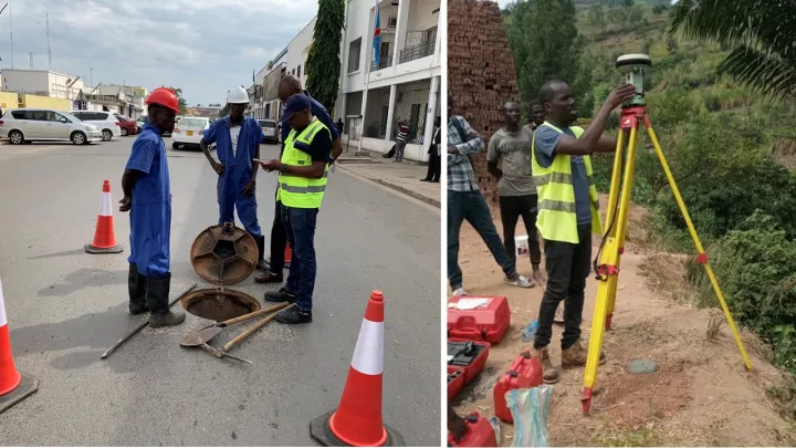
- Conducting a field survey of the entire wastewater network to complete the descriptive network database
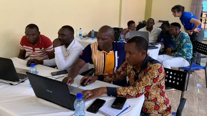
- Developing the descriptive database of the network and implementing GIS software applications to visualise the entire network and its characteristics
- Proposing a budget for the rehabilitation of the wastewater network connected to the Buterere wastewater treatment plant based on the physical inventory
- Reinforcing the capacity of the Office Burundais de l'Urbanisme, de l'Habitat et de la Construction (OBUHA) team: data collection, QGIS and database, inventory, inspection as well as rehabilitation and dissemination of results
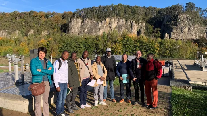
Project images