SHER Ingénieurs-Conseils
Our activities
Drinking water & Sanitation
Water & Agriculture
Integrated Water & Soil management
Animal health & Food safety
Water & Clean energy
Water & Climate resilience
Natural resources & Biodiversity
Geomatics & Topography
Our projects
News
Jobs
en
Fr
En
Contact us
Search
News
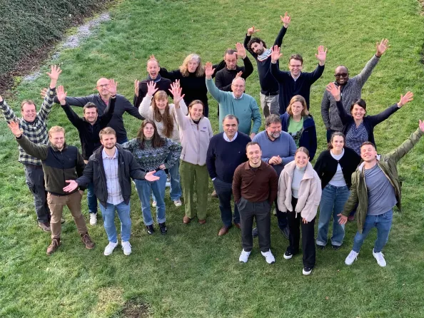
23 Feb. 2024
SHER business seminar
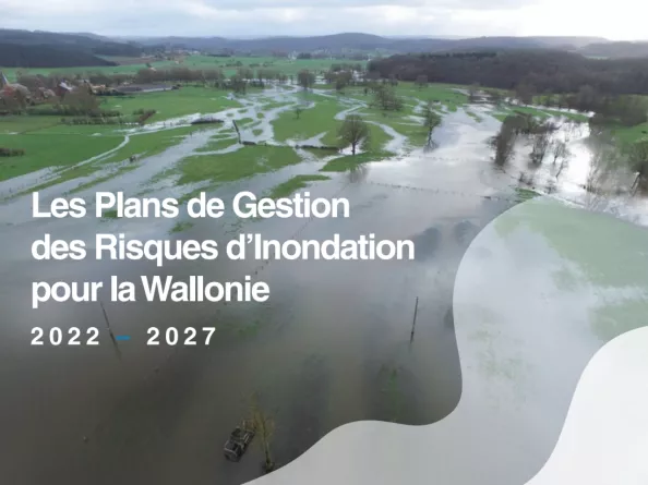
01 Oct. 2023
New contract with the Public Service of Wallonia
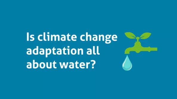
27 Apr. 2023
Participation in the conference "Is climate change adaptation all about water? organized by Enabel
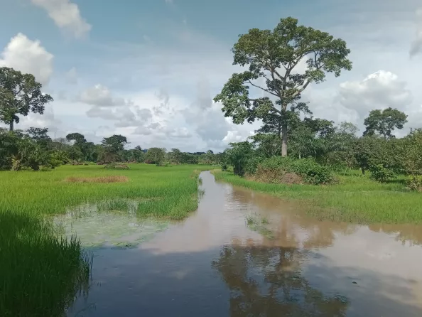
17 Feb. 2023
Final workshop of the project to improve access to water in Ivory Coast