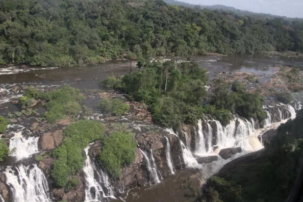
Integrated water resource management (IWRM) requires in-depth knowledge of water resources, both surface and groundwater. Our approach centered on soil and water conservation is essential in all our projects.
Protecting watersheds : Sustainability guarantee
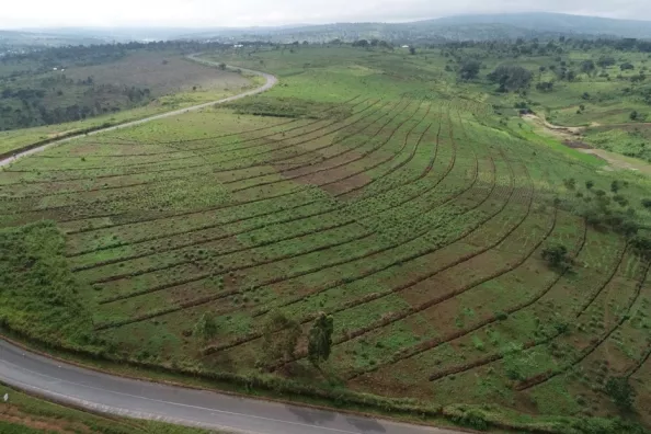
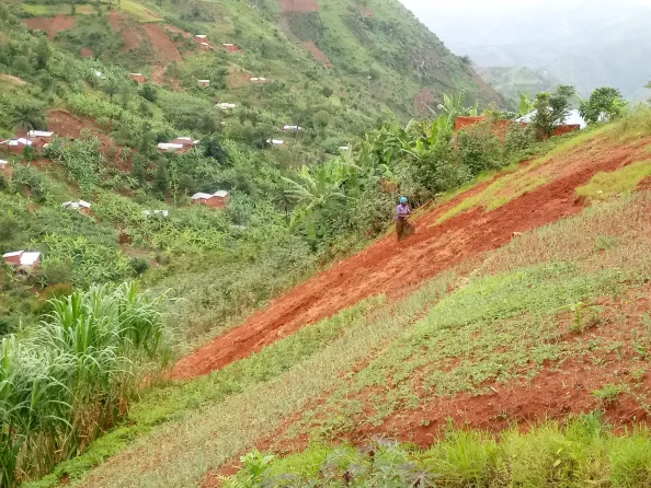
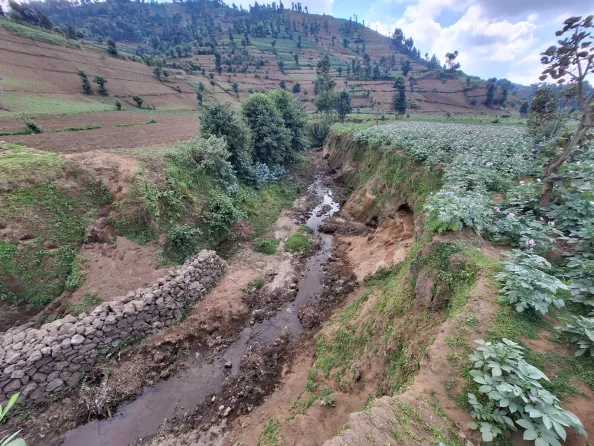
The sustainability of infrastructures such as dams, hydroelectric power stations, hydro-agricultural developments and river intakes is closely linked to the preservation of upstream watersheds. Reducing the risk of siltation, controlling erosion and reducing sediments are essential to ensure the longevity of these structures.
Technical expertise in water and soil management for tailored solutions
Our multidisciplinary teams analyze various types of erosion in situ, from agricultural and livestock areas, bank erosion, ravines and landslides, road infrastructure and the impact of mining and quarrying activities. We carry out hydrological monitoring programmes, topographic surveys, and use aerial imagery from drones and satellites. This on-the-ground expertise enables us to design and size solutions tailored to each specific context.
High performance tools for efficient management of water and soil resources
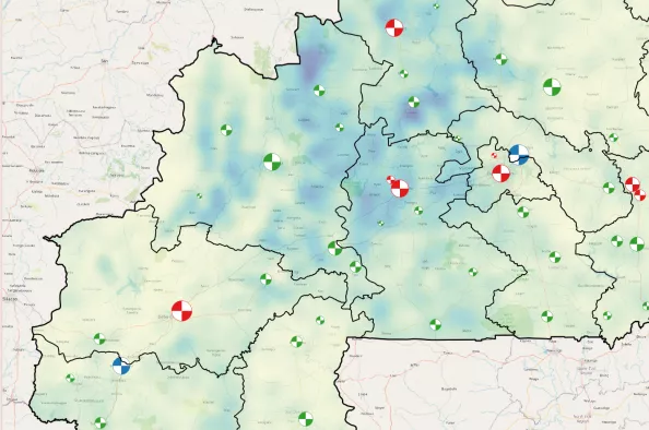
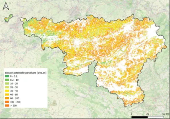
Our team is developing comprehensive databases containing structured hydro-climatological and hydrogeological data, which can be consulted via hydrogeological maps accessible via WebGIS. These data are used for geological and hydrogeological models, which are crucial tools for making informed decisions on integrated water resource management.
Our integrated services for water resources and catchment management
Diagnostics, feasibility studies and execution studies
- Analysis of water uses
- Agro-pedological, agro-climatological and hydrological studies
- Geological and hydrogeological characterization of aquifer systems
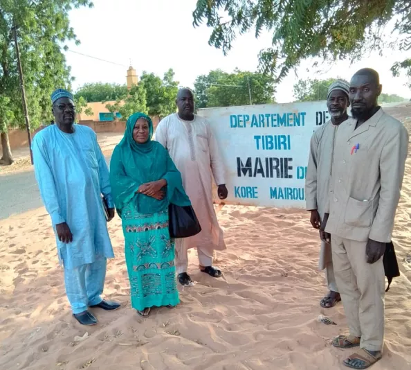
- Awareness raising and mobilisation of beneficiaries
- Assessment of environmental risks and impact on biodiversity
- Land use by image analysis and field validation
- Cartographic atlas of vulnerable areas
- Technical feasibility studies and analysis of development options
- Evaluation of development costs and cost-benefit analysis
- Detailed execution studies
- Drawings, quantity surveys and cost estimates
- Specifications and tender documents.
Supervision and works supervision
- Installation and monitoring of piezometer networks
- Monitoring of watershed protection works
- Health and safety coordination
- Follow-up of environmental and social management plan
- Operation and maintenance plan
Strategic tools and integrated approach
- Master Plan for water development and management
- Strategic watershed action plan
- Analysis of the socio-economic and institutional context
- Decision support tools
- Scenario analysis related to climate change
Support and advice
- Water resources monitoring system
- Development of legal and technical bases in the context of transboundary watersheds
- Support for the use of spatial GIS databases and models
- Support to land development policies
- Support to public works
- Support and training to service providers in soil bioengineering