Context of the project
As part of the Programme d'Appui Institutionnel et Opérationnel au Secteur Agricole (PAIOSA), the support for project management (MINAGRIE, the Ministry of Agriculture, Environment and Livestock being the contracting authority) consisted of setting up an interactive atlas of marshlands / irrigable plains and watersheds and drafting manuals for the design, maintenance and management of hydro-agricultural developments.
As part of this assignment, SHER Ingénieurs-Conseils undertook the following activities:
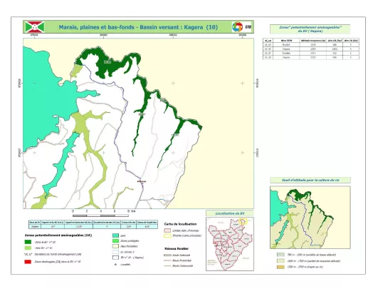
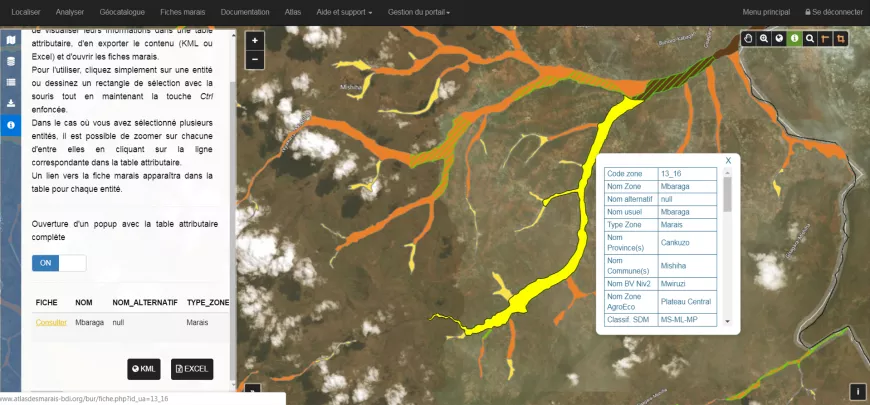
The creation of an interactive atlas of marshlands / irrigable plains and watersheds:
- Development of an interactive online atlas (geoportal) integrating and capitalising on information on irrigable marshlands and plains, and reproducing this information in a useful form. Four main modules structure the atlas: location (map management), analysis (simulations), documentation directory (thematic resources and manuals, legal resources, links to other websites), dynamic atlas, etc.
- Training human resources to collect and encode the data needed to operate the tool
- Definition of management procedures and system access rules
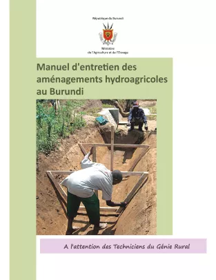
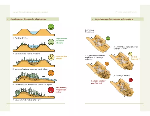
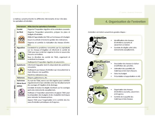
Support for the design, maintenance and management of hydro-agricultural infrastructures:
Drafting of two reference documents:
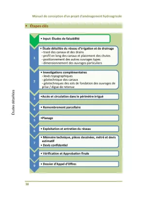
- A design manual for marshland irrigation developments
- A manual for preventive maintenance of hydro-agricultural facilities
Development of tools to support the management and maintenance of facilities (Water Users' Associations):
- Calculation sheet for O&M costs and water charges
- Proposed bylaws and articles for water user associations
- Roadmap for setting up a management framework of the developments and a legislative framework for water users' associations
- Roadmap for setting up a maintenance fund
- Standard documents with technical specifications and unit prices for the maintenance of infrastructures
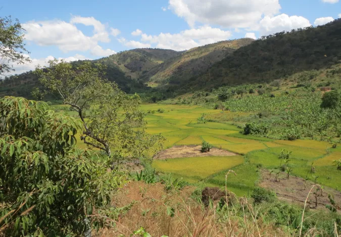
Project images