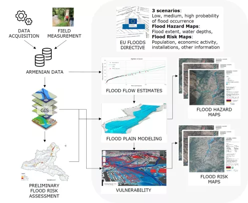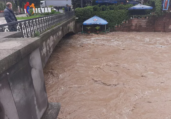
Context of the project
The aim of the feasibility study is to develop a flood hazard mapping methodology adapted to the Armenian context and in line with the Floods Directive of the European Union. The methodology will be developed for a pilot watershed and should be replicable for other watersheds. The feasibility study will also help identify gaps in existing data prior to the replication of flood hazard mapping to other watersheds.
As part of this assignment, SHER Ingénieurs-Conseils undertook the following activities:
Data acquisition
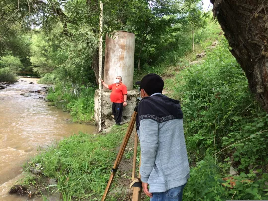
- Field survey in the basin;
- Collection and compilation of hydrological, meteorological and historical flood data;
- Acquisition of topographic data (DTM) and satellite images.
Data processing
- Delimitation of the watershed and characterization of land use and geomorphology;
- Hydrographic network modeling (HEC-HMS software);
- Characterization of the hydrological regime and assessment of typical flood events.
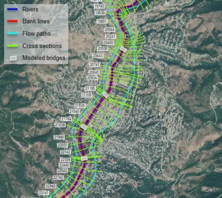
Floodplain modeling
- Development and calibration of a hydraulic floodplain model (HEC-RAS 1D);
- Use of the model to simulate the floodplain extent;
- Preparation of a draft flood hazard map and introduction workshop;
- Flood hazard mapping; o Production of the definitive flood hazard map and explanatory note.
Use of the flood hazard map
- Production of a flood risk map and identification of gaps in existing data prior to replication for other watersheds;
- Preparation of terms of reference for the production and development of a flood hazard map and management plan.
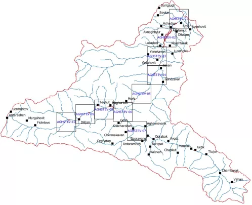
Project images